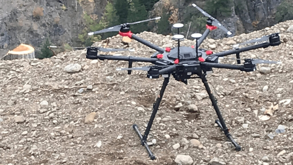
High-Resolution GPS photography services with drones are revolutionizing remote inspection, aerial mapping, and topographic methodologies. Our drone aerial inspection solutions feature a high degree of scalability and adaptability to meet each client’s specific needs.